
Description – Reculées in Jura – Eco range
C111-ECO Reculées in Jura The ‘reculées’ (literally: moved back) are deep and narrow valleys bordered by cliffs and high steep walls coming to dead ends and at the base of which you will always find a cave or an underground waterway from which a resurgence brings to life a river which then occupies the bottom […]
C111-ECO Reculées in Jura
The ‘reculées’ (literally: moved back) are deep and narrow valleys bordered by cliffs and high steep walls coming to dead ends and at the base of which you will always find a cave or an underground waterway from which a resurgence brings to life a river which then occupies the bottom of the valley. They were created at the end of ice ages by a progressive glacial retreat of the beginning of the valley to inside the plateau, as a result of strong frosts and the erosion of the plateau by the underground rivers that tirelessly eat away at the calcareous basement. You will see the destructive effects of the water by visiting one of these caves and will be surprised by these famous “potholes” connected by small channels. You will discover these beautiful places while walking on at the bottom of the valley or along cliffs and will admire breathtaking landscapes.
Itinerary
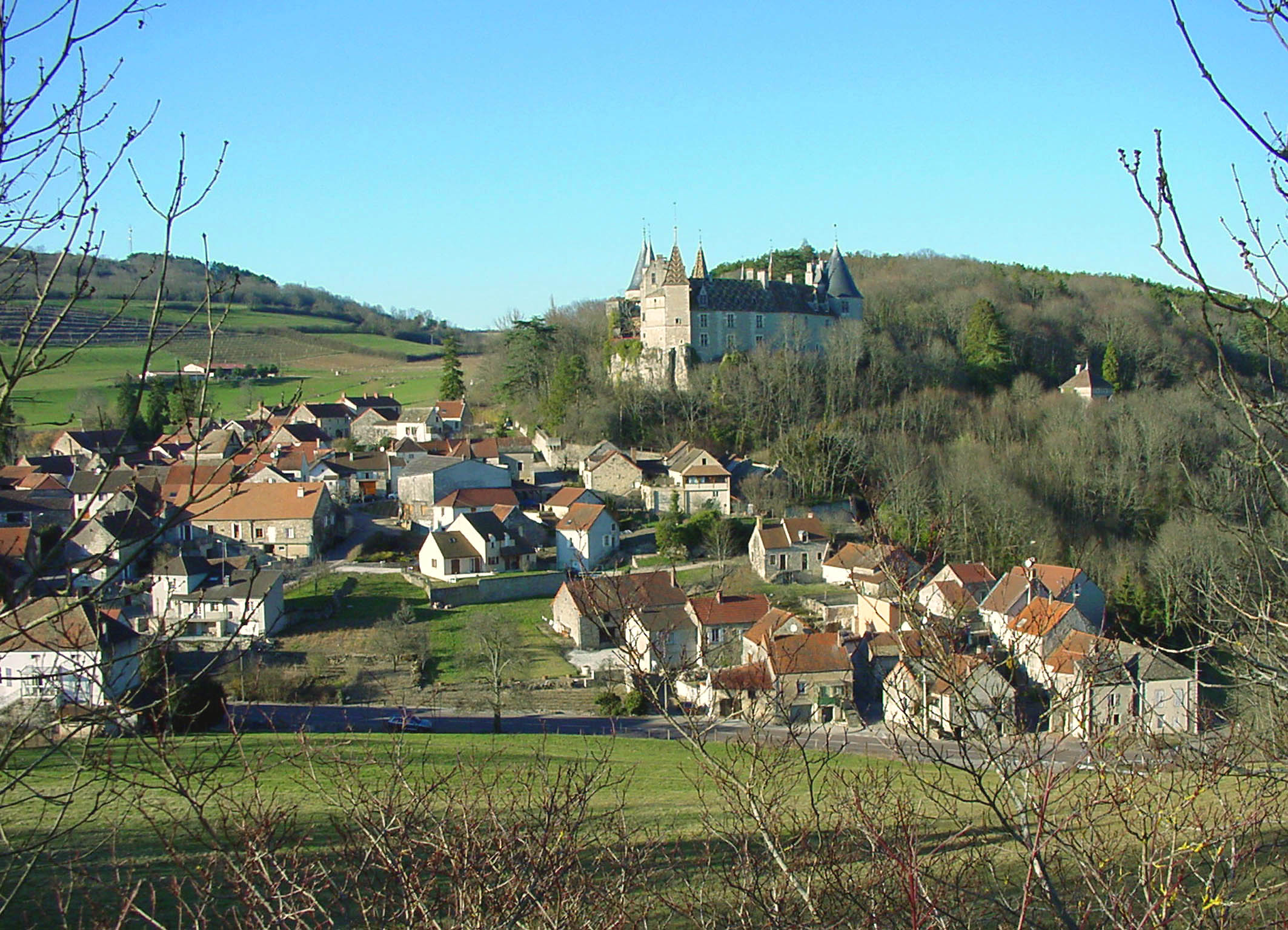
Day 1 – Arrival to ARBOIS. Threshold of one of most beautiful ‘reculées’ of the Jura, this small picturesque city, very dear to Pasteur, is also the capital of the wines of the Jura. There, you will discover the castle Bontemps, residence of the counts of Bourgogne, St Just’s church whose bell-tower dominates the city and old houses along Cuisance River. Half-board accommodation in a hotel with en-suite facilities
Day 2 – LA PYLE bridge – PONT DE POITTE (24 km – 7.00 hour walk). A taxi drops you by the La Pyle bridge in the morning. Through the forest, you head to the Belvedere de Chateau Renard and walking along the lake to the La Pyle bridge. You continue to the Sauchauffant beach and ascent onto the top of some hills dominating the lake. You leave the lake to go and discover some picturesque villages and hamlets as St Christophe or Marsonnay. You will reach again the lake banks by the tiny La Saisse port and walk along the Ain river to Pont de Poitte, admiring the famous “marmites des Geants” (large holes drilled into the boulders in river beds by the flow of water) and the “Saut de la Saisse” (small waterfall) – Half-board accommodation in a hotel with en-suite facilities
Day 3 – PONT DE POITTE – CLAIRVAUX LES LACS (25 km – 730 hour walk). You leave Pont de Poitte walking along the other bank of the Ain river and Vouglans lake. The path runs along water or through fields to reach and go across some pleasant villages. Past Auge, you will leave the lake and will pass through meadows and forests to attain Thonia, a small village known for its Fruitière, where Comté cheese in still produced in a traditional manner. You will make your way through the prairies towards the hamlet of Soucia and the small lake and large lake of Clairvaux. These will guide you to your hotel – Half-board accommodation in a hotel with en-suite facilities
Day 4 – CLAIRVAUX LES LACS – ILAY (commune of Chaux du Dombief – 22km – 6.30 hour walk). The path brings you to Uxelles, a small village snuggled around a lovely 17th-century chapel and joined to the Vallée du Hérisson (Hedgehog Valley). This river has no connection whatsoever to the animal for which it seems to have been named. Its name was actually derived from a mixture of Greek and Celtic words which mean “sacred water”. The name is no error, this is truly a divine place! Seven waterfalls fall in succession of each other over several kilometers, the largest falling from more than 60 kilometers high! It is a spectacular vision of the magic of water! Your hotel is at the end of the path – Half-board accommodation in a hotel with en-suite facilities
Day 5 – Walking circuit of 25 km in the discovery of the Lac (lake) de Bonlieu, La Vallée (valley) du Drouvenant, La Reculée and the Cascade (waterfall) de la Frasnée, passing by the village Saint Maurice-Crillat, the Crillat Chapel, the belvedere of La Frasnée and the resurgence of Le Trou des Gangônes. You will return by way of the Lac de Bonlieu’s other shore, where you find ruins of the Chartreuse Notre-Dame – Half-board accommodation in the same hotel
Day 6 – Walking circuit of 22 km in discovery of the Four Lakes. The day begins with an ascent towards the Chaux du Dombief, which you will attain because you will turn off before, crossing through the forest to the Belvedere of the Four Lakes. Behold, a magnificent view onto the lakes of Ilay, Narlay the the Grand and Petit Mache. You will follow the coastal road to the Pic de l’Aigle (Eagle’s Peak). You will then descend to the banks of the Lacs Mache for a stroll which will bring you to the Lac de Narlay – the smallest but deepest of the four – and will then turn towards Ilay by the path overlooking the Lac d’Ilay. The small island in the middle of this lake was once home to one of the oldest monsters of the region of the Franche Comté – Half-board accommodation in the same hotel.
Day 7 – ILAY – DOUCIER (23 km – 7 hour walk). You will leave the hamlet and, for the pleasure of it, descend the Chemin des Sept Cascades (Path of the Seven Waterfalls)! You will continue your hike in the Vallée du Hérisson to discover two natural lakes which will welcome you into calm and reverie… the Lacs du Val et de Chambly. You will walk along their banks to Doucier. But before heading to the hotel, you will admire the Lac de Chalain of the belvederes of “Sur la Roche” and of La Fraite. You will descend then to the banks and follow the lake to the village. Half-board accommodation in a hotel with en-suite facilities
Day 8 – DOUCIER. End of the tour after breakfast
Season
From end of April to middle of October
What’s included?
- 7 nights with accommodation in 2-star hotels on half-board basis
- Hotel to hotel luggage transfer along the trail.
- A set of maps (1/25 000 scale) with the route marked on and detailed route notes describing the trail.
- A daily itinerary together with information about facilities and places of interest along the trail.
- Emergency assistance.
Visa fees – transportation fees to and from the walk area – Insurance (strongly recommended on all trips) – Transfers except those mentioned above – Drinks – Entrance fees Additional meals – Spending of personal nature e.g. laundry, souvenirs, phone calls,…are not included
Getting there and away
By train: from Paris Gare de Lyon, TGV to Dôle or Dijon, connection from these towns to Mouchard, then to Arbois (under 4 hour-journey)
By car: reach the A39 motorway (Dijon- Bourg en Bresse)exit 7 then N83 road coming from Dijon or exit 8 and N78 road from South.
Where to park: Several unsupervised car parks in Arbois. Trains between Lons le Saulnier and Arbois (35 mn journey)
Walk difficulty
Grade 3 – walks of between 5 and 8 hours a day with ascents up to 700 m. Some hiking experience is advisable. A reasonable level of fitness and some stamina are required for these walks. You may cover long distances in remote countryside and the terrain will be rough underfoot. In mountainous areas you will encounter somme sustained ascents and descents